


Got Question about the News?
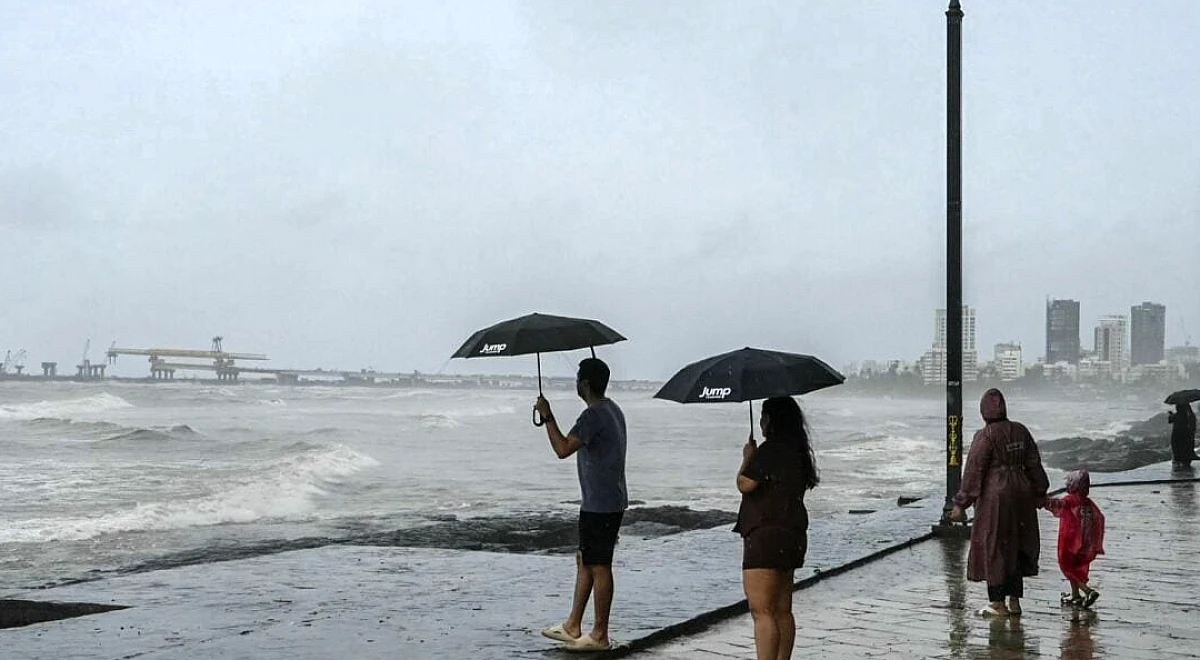
India is staring at a drier-than-normal spell during a crucial phase of the monsoon season, with the India Meteorological Department (IMD) forecasting below-average rainfall across the country until at least September 2.
The all-India rainfall deficit stood at 14 percent below the long-period average on Saturday. The shortfall could widen as the monsoon trough remains close to the Himalayan foothills instead of moving south across central India.
A monsoon trough is a long atmospheric region of low-pressure where winds from the northern and southern hemisphere meet. It pulls in moisture laden air and brings rains to India’s gangetic plains.
It is this that has remained close to the Himalayas, instead of properly spreading over north India, this year.
The assessment, included in IMD’s extended-range forecast issued on August 20, has heightened concerns over crops sown during recent weeks. The weather office said rainfall would stay below normal across India during both weeks covered by the forecast, despite the formation of some new weather systems.
The Himalayan belt, along with parts of northeast and east India, is likely to receive heavy to very heavy rain. However, Peninsular India may continue to see weak monsoon activity over the coming week.
A low-pressure area is expected to develop over the north Bay of Bengal near the West Bengal-Bangladesh coast within 24 hours. It could bring heavy to very heavy rain to Odisha and Chhattisgarh until August 26.
Central India normally receives some of its most important August rainfall when the trough moves south. Its failure to do so now could leave key agricultural regions short of rain.
Private forecaster Skymet Weather sharply lowered its monsoon forecast on Monday, projecting seasonal rainfall at 85% of the LPA. Its April forecast had put the figure at 94 percent.
“Skymet foresees a 70% chance of drought and expects the seasonal rainfall to be 85% of the Long Period Average (LPA)," the forecaster said.
Skymet said the rainfall distribution would remain uneven across India’s four homogeneous regions during the rest of August. It also warned that a strengthening El Niño and a weak Indian Ocean Dipole could worsen the situation in September.
A positive Indian Ocean Dipole can partly counter El Niño’s negative impact on the monsoon, but the current conditions are not providing that support.
The largest deficit is in east and northeast India, where rainfall is 26 percent below LPA. The south Peninsula is 23 percent below normal, while northwest India has a deficit of 11 percent.
Central India is closest to normal levels, with rainfall just 3 percent below LPA after earlier low-pressure systems helped improve the situation.
Skymet’s latest forecast represents a 9-percentage-point cut from its April projection and ranks among the sharpest mid-season downgrades in recent years.
IMD has also reduced its seasonal estimate, though by a smaller margin. It projected rainfall at 92 percent of LPA in April and lowered the figure to 90 percent in June.
The agency has not revised its forecast since then. But the current 14 percent deficit and the outlook for continued weak rainfall until early September could put further pressure on that estimate.
Experts warned that a further deterioration in rainfall could add to food inflation, especially as global supply disruptions continue to affect commodity flows.
A drier-than-normal monsoon period in India, with a 14% rainfall deficit, is expected to heighten food inflation risks due to concerns over crop yields. Experts warn that further rainfall deterioration, combined with ongoing global supply disruptions, could increase food inflation.
Farmers can mitigate crop losses by adopting crops that require less water, such as sorghum, millet, maize, kodo, moong, and urad. They should also consider planting short-duration varieties of crops like rice, implement water conservation methods, ensure proper drainage in fields, and monitor weather forecasts.


Comments ()
Be the first to share your perspective on this story!